734063, Republic of Tajikistan, Dushanbe, Ayni st., 267
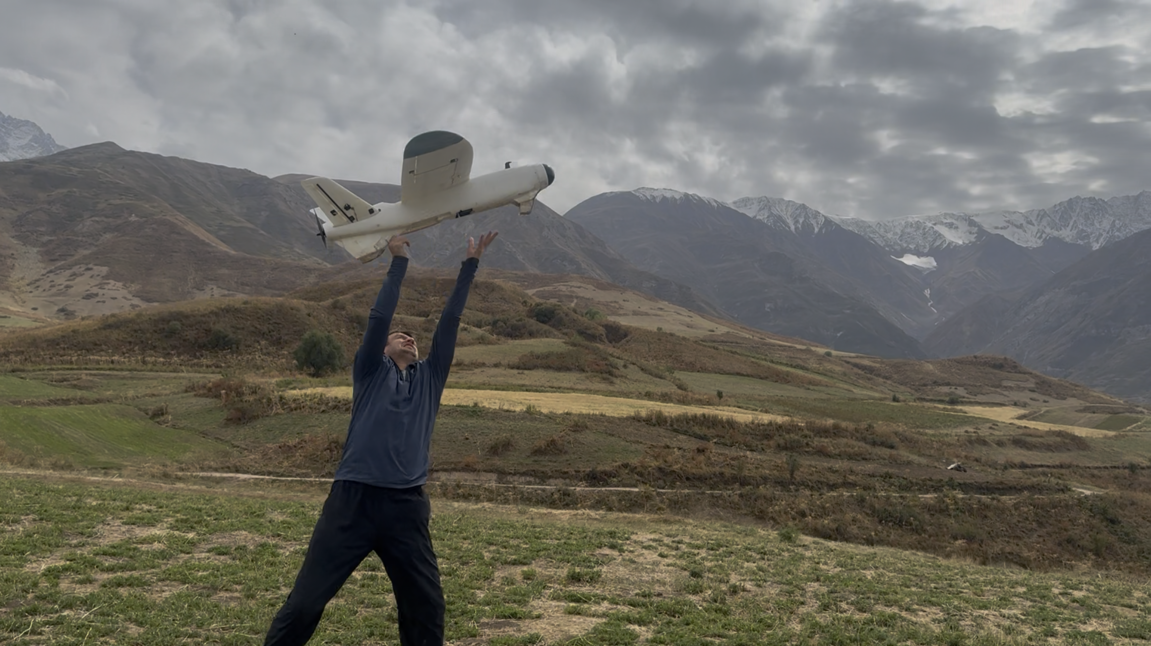
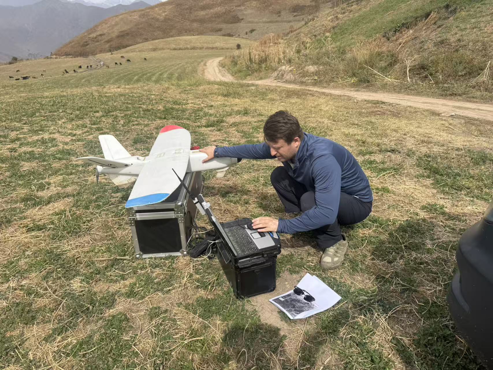
From 28 August to 4 September 2026, scientists and specialists from the Research Center for Ecology and Environment of Central Asia (Dushanbe), National Academy of Sciences of Tajikistan, conducted fieldwork in the Lakhsh and Tojikobod districts to continue monitoring glaciers of the Peter I Range. As part of the expedition, the current condition and surface characteristics of Said Nafisi Glacier in Lakhsh District and Dehdal Glacier in Tojikobod District were investigated using uncrewed aerial vehicles (UAVs).
The main objectives of the fieldwork were to assess the current condition of the glaciers, determine changes in terminus position, surface conditions, and morphological characteristics, and collect detailed data for comparison with observations from previous years. Repeated monitoring makes it possible to identify glacier changes over different periods and assess their dynamics with high accuracy.
Although both are located within the Peter I Range, their dynamic characteristics differ. For Said Nafisi Glacier, changes in surface conditions and the development of supraglacial lakes are among the main monitoring priorities, whereas for Dehdal Glacier, surge processes, rapid ice movement, and post-surge morphological changes are of particular significance.
Said Nafisi Glacier is one of the important glaciers of the Peter I Range. Long-term studies using satellite imagery, climate data, and UAV-based aerial surveys show that significant morphological changes and the development of glacial lakes have occurred on the glacier surface. Results from previous studies conducted by scientists from the Center and their collaborators were published in 2024 in the international journal Journal of Mountain Science. Satellite data from 2002 to 2022 and UAV aerial surveys conducted in 2020 and 2022 were analyzed, showing that the area of the investigated lakes increased from approximately 20,500 m² to 62,800 m². This result further highlights the importance of regular monitoring of the glacier and its lakes, particularly for assessing potentially hazardous natural processes.
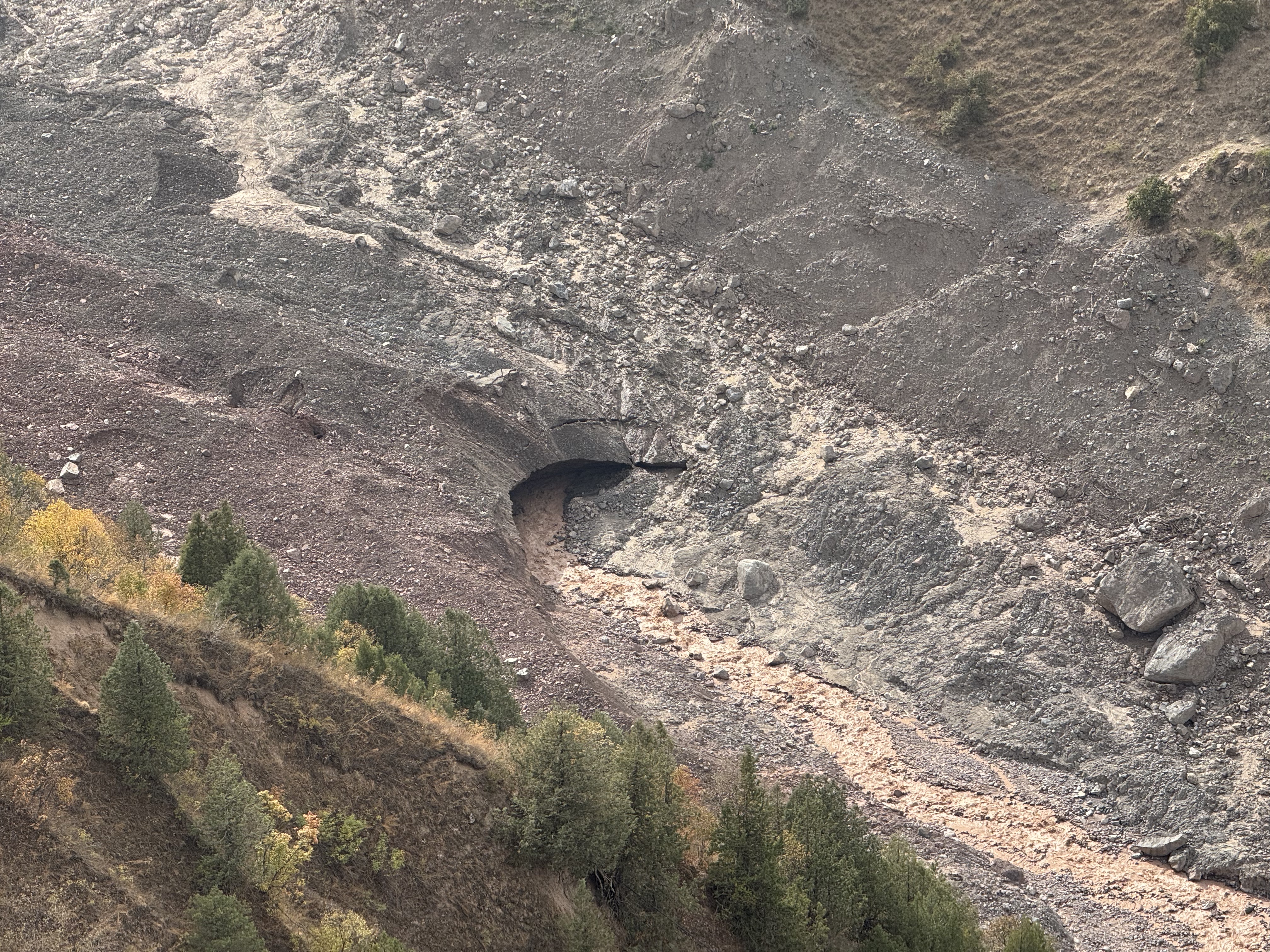
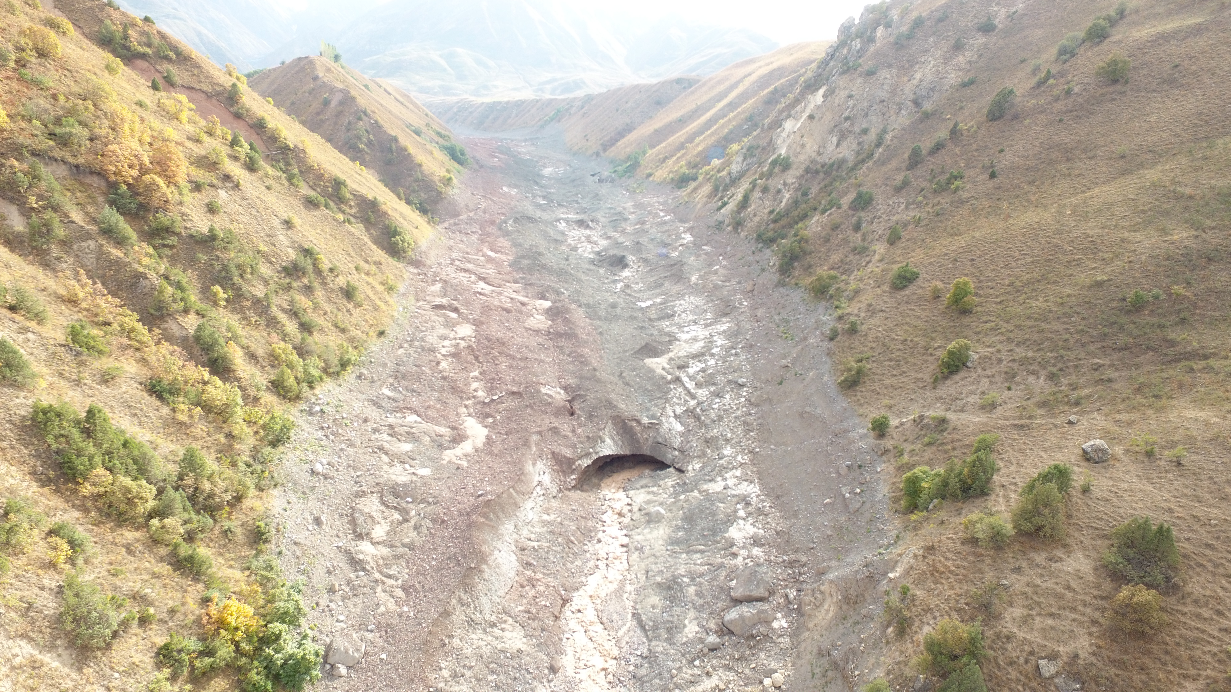
Dehdal Glacier is also among the dynamically active glaciers of the Peter I Range. It is located on the northern slope of the range within the Surkhob River Basin and is distinguished from other glaciers by recurring surge phases and periods of rapid ice movement. Historical observations and satellite-data analysis indicate that Dehdal Glacier experienced active surge phases in 1897, 1974, 1995–1997, and 2015–2016. The recent 2025–2026 event differs in its dynamic characteristics. During this period, rapid ice movement and two stages of partial glacier-tongue detachment were recorded, with detached ice masses transported approximately 4.7 km down-valley. The volume of detached ice deposited in the valley is estimated at approximately 4–5 million m³. Sequential analysis of high-resolution PlanetScope satellite imagery made it possible to monitor the development of this event at nearly daily intervals. The results show that the new surge phase occurred only about 9–10 years after the 2015–2016 event, representing a shorter recurrence interval than previous surge cycles. The results of this study were published in 2026 on the EGUsphere platform as a preprint and are currently under review.
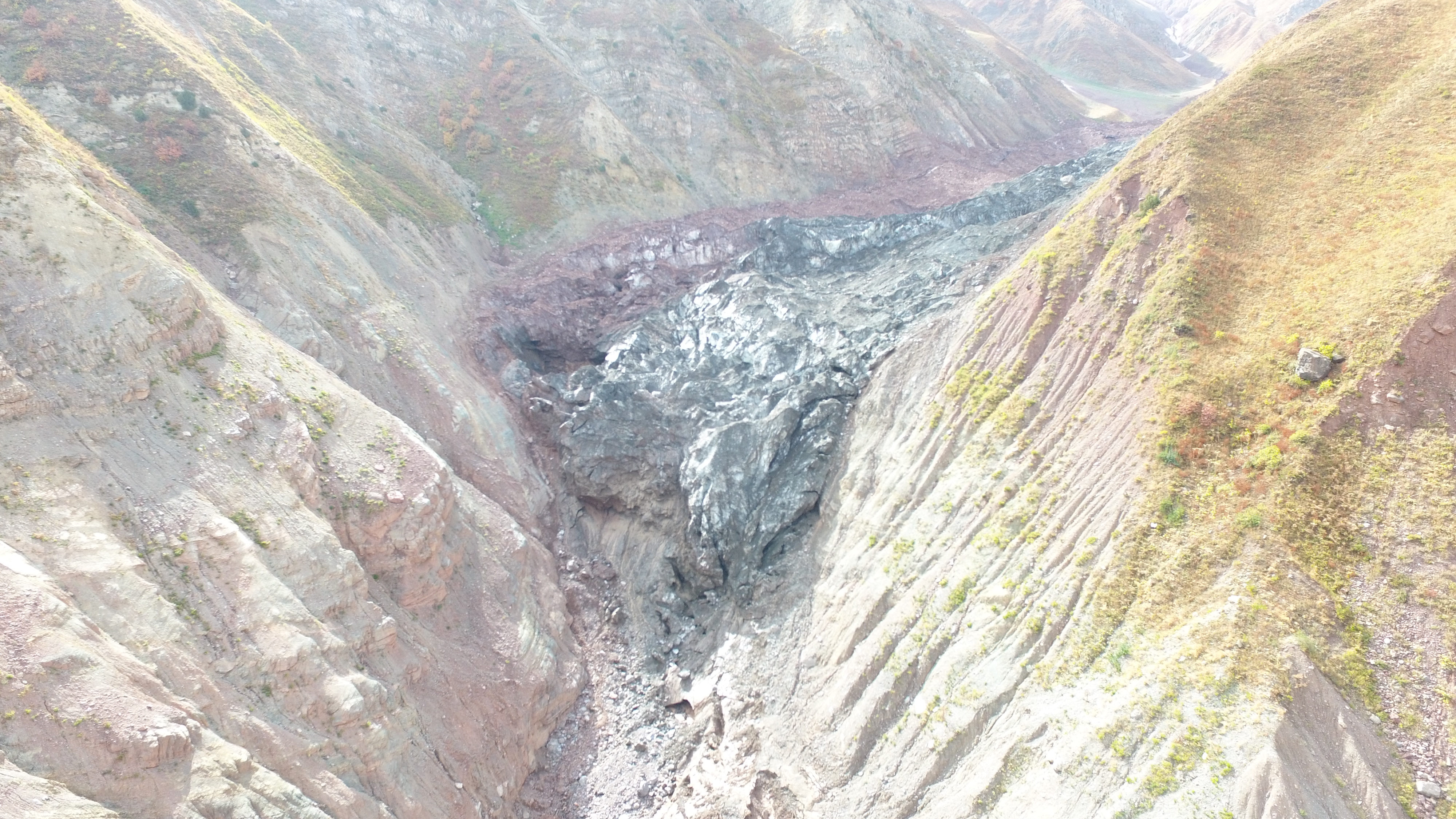
Data obtained in previous years make it possible to assess the condition of surge-type glaciers of the Peter I Range, changes in their surfaces, and the morphological characteristics of glacier tongues during different periods. Therefore, the new aerial survey represents a continuation of a long-term series of observations and is particularly important for assessing glacier conditions following the most recent surge event.
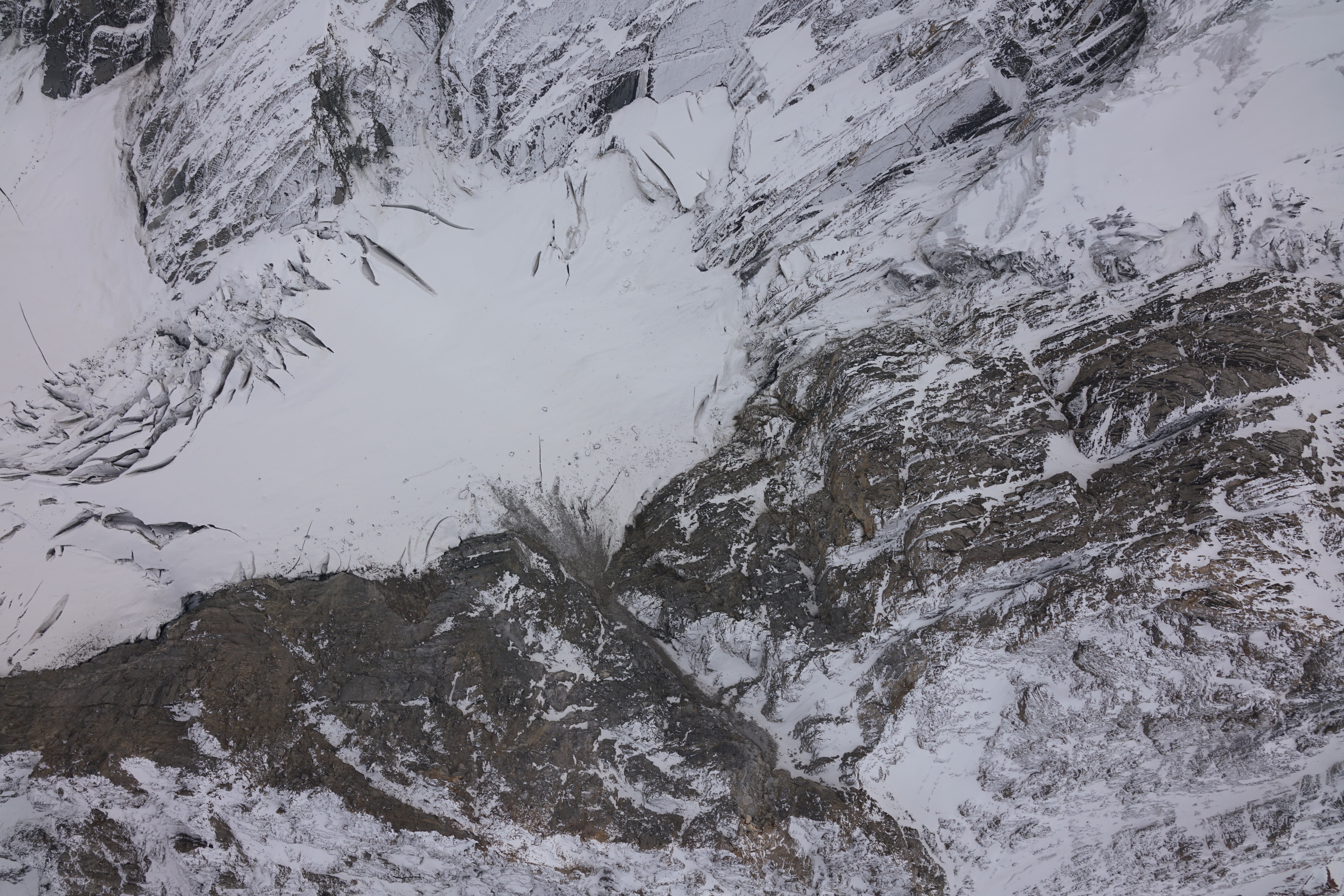
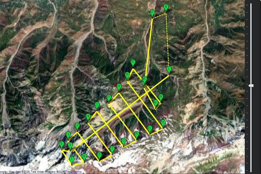
During the recent expedition, detailed aerial surveys of Dehdal and Said Nafisi glaciers were carried out using the Center’s UAVs. The acquired data will be used to generate high-resolution orthomosaics, digital elevation models, and three-dimensional glacier models. Comparison with UAV data from previous years will make it possible to identify changes in glacier surface elevation, terminus position, ice-mass distribution, and other morphological characteristics.
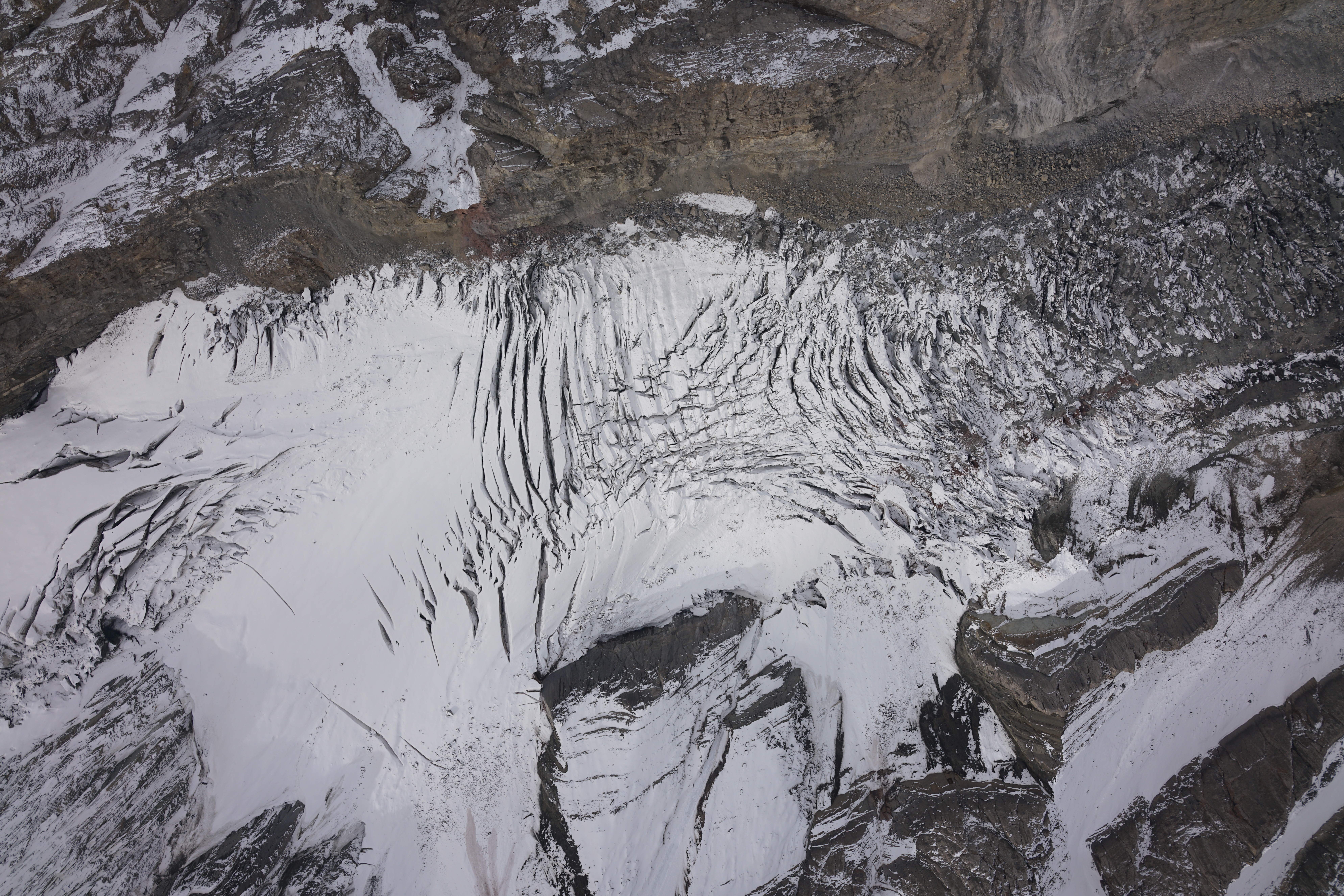
All acquired data, together with satellite imagery, digital elevation models, and geographic information system (GIS) technologies, will be used for long-term studies of these glaciers. Such monitoring is important for understanding glacier dynamics in the Peter I Range, assessing glacier changes under a changing climate, identifying hazardous natural processes, and strengthening the scientific basis for glacier monitoring in Tajikistan.